Cadastral and topographic survey project - Hattin camp - UNRWA. Ground and aerial surveys (Drone) were used, linked together and reflected on the (GIS.ARC Map) program in 2022 AD.
Gallery

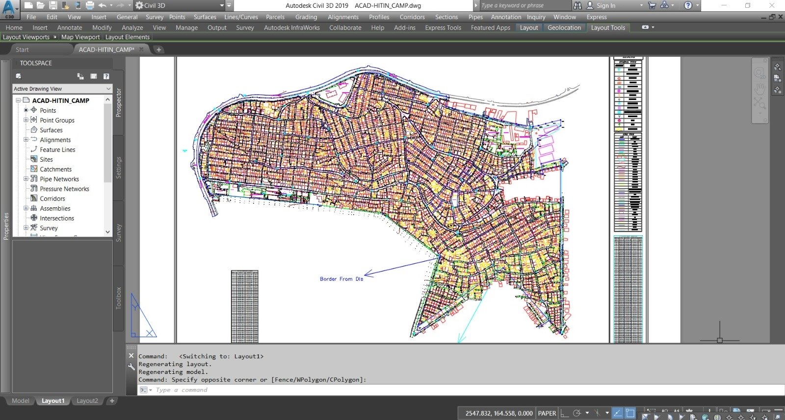
Cadastral and topographic survey project - Hattin camp - UNRWA. Ground and aerial surveys (Drone) were used, linked together and reflected on the (GIS.ARC Map) program in 2022 AD.