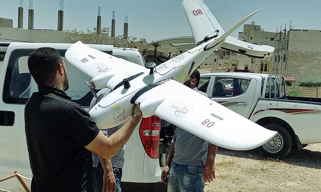
Surveying and Topographic Surveying Project - Mahes Municipality. Ground and aerial surveying ( Drone ) were used and linked together on the (GIS.ARC Map) program for the year 2023 AD
Gallery
Surveying and Topographic Surveying Project - Mahes Municipality. Ground and aerial surveying ( Drone ) were used and linked together on the (GIS.ARC Map) program for the year 2023 AD